Industri
Distribusi Bisnis berdasarkan Industri di Devon Meadows
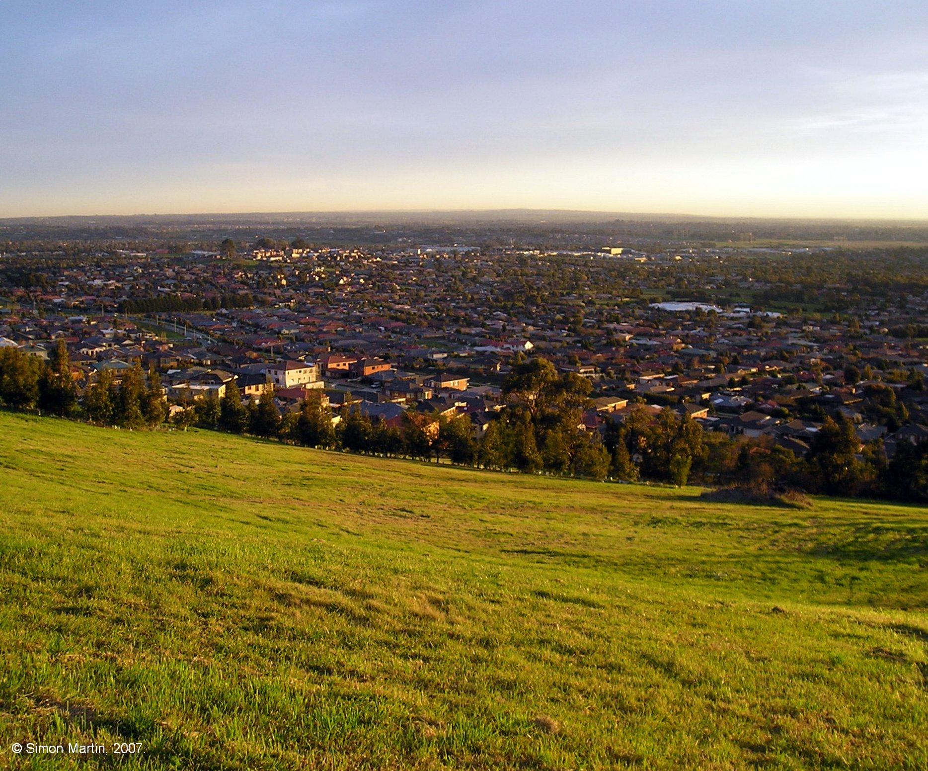
Fakta tentang Devon Meadows
| Area | 23.7 km² |
| Populasi | 1.874 |
| Populasi Pria | 954 (50.9%) |
| Populasi Wanita | 920 (49.1%) |
| Perubahan populasi (1975 to 2020) | +85.2% |
| Perubahan populasi (2000 to 2020) | +35.4% |
| Usia Rata-rata | 41.6 tahun (Pria: 40.6, Wanita: 42.1) |
| Sekitarnya | Five Ways |
| Waktu Setempat | |
| Zona Waktu | Waktu Standar Timur Australia |
| Grs Lintang & Grs Bujur | -38.16667, 145.30000 |
Peta Devon Meadows
Peta Interaktif
Populasi Devon Meadows
Tahun 1975 hingga 2020
| Data | 1975 | 1990 | 2000 | 2015 | 2020 |
|---|---|---|---|---|---|
| Populasi | 1.012 | 1.245 | 1.384 | 1.735 | 1.874 |
| Kepadatan penduduk | 42,7 / km² | 52,6 / km² | 58,4 / km² | 73,2 / km² | 79,1 / km² |
Sumber: JRC (European Commission's Joint Research Centre) bekerja pada GHS built-up grid
Perubahan populasi Devon Meadows dari 2000 hingga 2015
Peningkatan sebesar 25.4% dari tahun 2000 hingga 2015
| Lokasi | Perubahan sejak 1975 | Perubahan sejak 1990 | Perubahan sejak 2000 |
|---|---|---|---|
| Devon Meadows | +71.4% | +39.4% | +25.4% |
| Victoria, Australia | +72.6% | +40.2% | +25.5% |
| Australia | +72.6% | +40.3% | +25.5% |
Sumber: JRC (European Commission's Joint Research Centre) bekerja pada GHS built-up grid
Usia Median Devon Meadows
Usia Median: 41.6 tahun
| Lokasi | Usia Rata-rata | Usia Median (Wanita) | Usia rata-rata (Pria) |
|---|---|---|---|
| Devon Meadows | 41.6 yrs | 42.1 yrs | 40.6 yrs |
| Victoria, Australia | 37.6 yrs | 38.6 yrs | 36.6 yrs |
| Australia | 37.7 yrs | 38.6 yrs | 36.8 yrs |
Sumber: CIESIN (Center for International Earth Science Information Network)
Kepadatan Penduduk Devon Meadows
Kepadatan Penduduk: 79,1 / km²
| Lokasi | Populasi | Area | Kepadatan |
|---|---|---|---|
| Devon Meadows | 1.874 | 23,7 km² | 79,1 / km² |
| Victoria, Australia | 5,9 million | 227.400,2 km² | 26,1 / km² |
| Australia | 23,8 million | 7.690.961,5 km² | 3,1 / km² |
Sumber: JRC (European Commission's Joint Research Centre) bekerja pada GHS built-up grid
Populasi Historis dan Proyeksi Devon Meadows
Perkiraan Populasi dari 1860 hingga 2100
Sumber:
- JRC (European Commission's Joint Research Centre) bekerja pada GHS built-up grid
- CIESIN (Center for International Earth Science Information Network)
- [Link] Klein Goldewijk, K., Beusen, A., Doelman, J., and Stehfest, E.: Anthropogenic land use estimates for the Holocene – HYDE 3.2, Earth Syst. Sci. Data, 9, 927–953, https://doi.org/10.5194/essd-9-927-2017, 2017.
Indeks Pembangunan Manusia (IPM)
Indeks komposit statistik dari harapan hidup, pendidikan, dan pendapatan per kapita.
Sumber: [Link] Kummu, M., Taka, M. &Guillaume, J. Kumpulan data global berbasis grid untuk Produk Domestik Bruto dan Indeks Pembangunan Manusia selama 1990–2015. Sci Data 5, 180004 (2018) doi:10.1038/sdata.2018.4
Emisi CO2 Devon Meadows
Emisi Karbon Dioksida (CO2) Per Kapita dalam Ton Per Tahun
| Lokasi | Emisi CO2 | Emisi CO2 Per Kapita | Intensitas Emisi CO2 |
|---|---|---|---|
| Devon Meadows | 34,433 tn | 18.37 tn | 1,453.7 tons/km² |
| Victoria, Australia | 101,123,087 tn | 17.02 tn | 444.7 tons/km² |
| Australia | 401,155,564 tn | 16.88 tn | 52.2 tons/km² |
Sumber: [Link] Moran, D., Kanemoto K; Jiborn, M., Wood, R., Többen, J., and Seto, K.C. (2018) Jejak karbon dari 13.000 kota. Environmental Research Letters DOI: 10.1088/1748-9326/aac72a
Emisi CO2 Devon Meadows
| Emisi CO2 tahun 2013 (ton/tahun) | 34,433 tn |
| Emisi CO2 tahun 2013 (ton/tahun) per kapita | 18.37 tn |
| Intensitas emisi CO2 tahun 2013 (ton/km²/tahun) | 1,453.7 tons/km² |
Risiko Bencana Alam
Relative risk out of 10
| Bahaya | Risk Level |
|---|---|
| Earthquake | Medium (4) |
* Risk, particularly concerning flood or landslide, may not be for the entire area.
Sumber:
- Dilley, M., R.S. Chen, U. Deichmann, A.L. Lerner-Lam, M. Arnold, J. Agwe, P. Buys, O. Kjekstad, B. Lyon, and G. Yetman. 2005. Natural Disaster Hotspots: A Global Risk Analysis. Washington, D.C.: World Bank. https://doi.org/10.1596/0-8213-5930-4.
- Center for Hazards and Risk Research - CHRR - Columbia University, Center for International Earth Science Information Network - CIESIN - Columbia University. 2005. Global Earthquake Hazard Distribution - Peak Ground Acceleration. Palisades, NY: NASA Socioeconomic Data and Applications Center (SEDAC). https://doi.org/10.7927/H4BZ63ZS.
Gempa Bumi Terdekat Terdekat
Magnitude 3.0 dan lebih tinggi
| Tanggal▼ | Waktu↕ | Magnitude↕ | Distance↕ | Kedalaman↕ | Lokasi↕ | Link |
|---|---|---|---|---|---|---|
| 12/3/14 | 7:05 PM | 3.6 | 14.4 km | 10,000 m | 11km S of Beaconsfield Upper, Australia | usgs.gov |
| 5/1/13 | 4:41 PM | 3.1 | 71.9 km | 10,000 m | 7km N of Leopold, Australia | usgs.gov |
| 7/20/12 | 9:11 AM | 4.6 | 76.7 km | 13,000 m | near the southeast coast of Australia | usgs.gov |
| 6/19/12 | 10:53 AM | 5.2 | 80.3 km | 10,000 m | near the southeast coast of Australia | usgs.gov |
| 7/5/11 | 9:16 AM | 3.7 | 52 km | 6,000 m | near the southeast coast of Australia | usgs.gov |
| 7/5/11 | 2:37 AM | 3.3 | 57.8 km | 0 m | near the southeast coast of Australia | usgs.gov |
| 7/5/11 | 1:32 AM | 4.4 | 54.5 km | 2,000 m | near the southeast coast of Australia | usgs.gov |
| 3/30/10 | 8:08 AM | 3 | 55.7 km | 10,000 m | near the southeast coast of Australia | usgs.gov |
| 9/22/09 | 8:20 AM | 3.1 | 13.3 km | 0 m | near the southeast coast of Australia | usgs.gov |
| 3/18/09 | 5:28 AM | 4.3 | 53.9 km | 15,000 m | near the southeast coast of Australia | usgs.gov |
Sumber: U.S. Geological Survey (USGS)

Tentang Data Kami
Data di halaman ini diperkirakan menggunakan sejumlah alat dan sumber daya yang tersedia untuk umum. Data ini disediakan tanpa jaminan dan mungkin mengandung ketidakakuratan. Gunakan dengan risiko Anda sendiri.